This chart series serves the requirements of VFR in-flight navigation for low speed, short or medium range operations at low and intermediate altitudes. It is also used in pre-flight planning and for pilot and navigator training. Airspace information up to FL195 and obstacles 328ft AGL and above are depicted.
In addition to aeronautical information, the charts provide hydrographic, topographic, cultural and other visual features compatible with legibility at the scale of the chart – this information is supplied by GB Ordnance Survey and/or Ordnance Survey Northern Ireland. Terrain contours at intervals above 500ft AMSL depicted
The 1:500,000 series charts meet the ICAO standards and recommended practices as defined in ICAO Annex 4.
Chart Amendments
In order to view the published amendments on a current chart please select the chart you require by either clicking on the map or selecting from the list below.
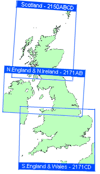
Northern England and Northern Ireland
A4 Legend
You will find a printable version of the Legend here.